 Image 1 of 1
-
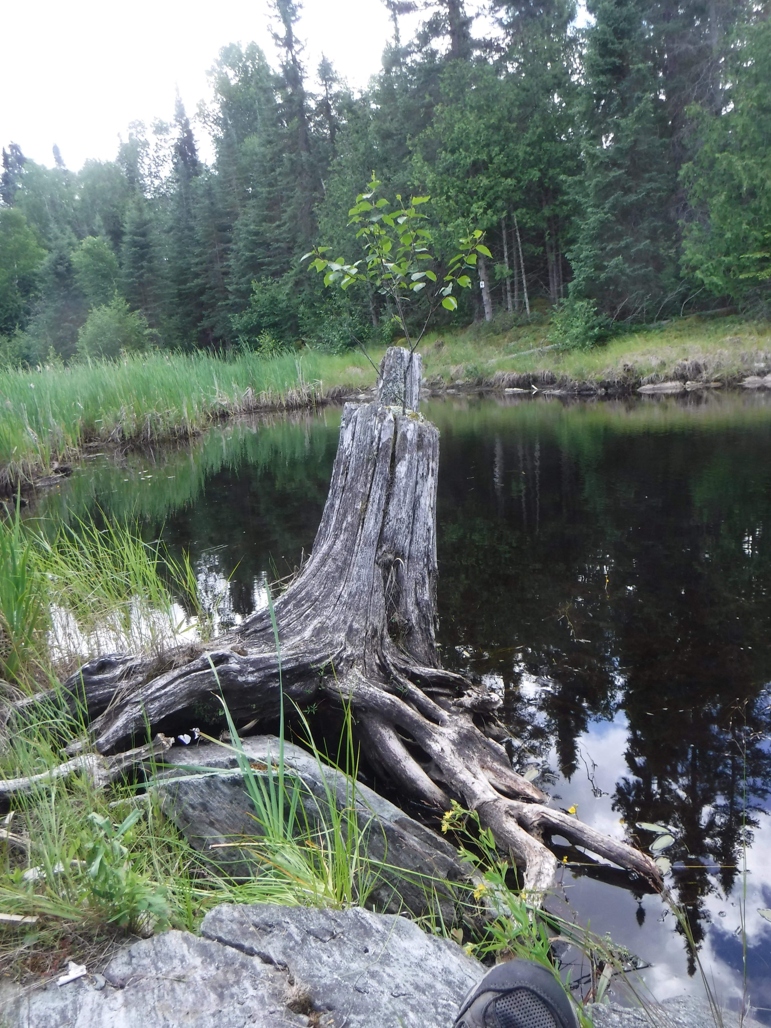
The Paull River in northern Saskatchewan runs through the Churchill Uplands ecosystem of the Canadian Shield. The river is narrow, but pulls water from the surrounding boreal forest making it a high volume run throughout its descent into the Churchill River. The process of glaciation has left the pink precambrian granite exposed to the elements. Expect most campsites to be on open rock with beautiful views of the river and wildlife. The seclusion of the Paull River is juxtaposed with the relatively popular area of the Churchill. Enjoy the sounds of water, wind, and birds while you paddle along its rocky shorelines of spruce and Jackpine. They are often the only things breaking the silence of the river.
-
Moderate. Rapids have an average rating of C2, but isolation adds risk!
-
Paull River itself is only 65km with the remainder of paddling
Paull Lake to Missinipe, SK: 105km
Paull Lake to La Ronge, SK: 155km.
-
Most rapids run in a drop-pool, and the majority are C2.
There is no cell phone reception. All paddlers are encouraged to bring a satellite-enabled communication device.
Campsites and portages are rustic and not professionally maintained.
Egress points are located in Lac la Ronge Provincial Park. Paddlers are required to confirm camping and registration requirements with the park.
Black bears & wolverines are present throughout.
-
Fly in only access to Paull Lake. Flights can be booked from Missinipe or La Ronge.
The Paull River ends at its junction with the Churchill River, but paddlers can descend the Churchill and paddle directly to Missinipe or La Ronge, picking up their car from where they flew out from (this will add an additional ~40km or ~90km of paddling respectively).