 Image 1 of 1
-
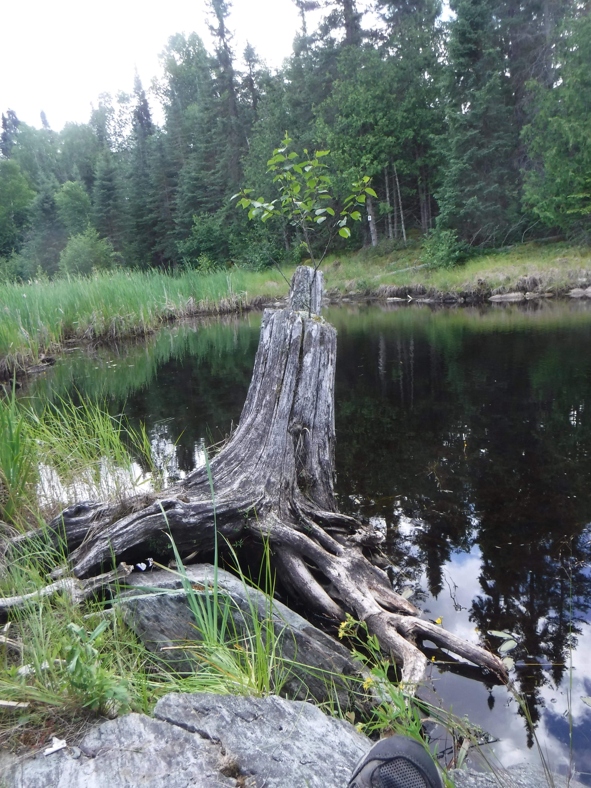
Paddling the Churchill River in Saskatchewan offers an unforgettable wilderness adventure of varying lengths for the distance paddler. This stunning route winds through pristine boreal forests, granite rock outcrops, and tranquil lakes, with rapids adding excitement and challenge your skills. The river flows through remote communities allowing for resupply on longer trips and an element of safety in this otherwise isolated location. With its diverse waterway, paddlers experience a mix of calm stretches perfect for reflection and thrilling sections that challenge your skills. The journey offers a deep connection to nature, with endless opportunities for camping, fishing, and immersing oneself in the serenity of Canada’s northern boreal region.
The Churchill River in Saskatchewan has long been a vital waterway for Indigenous peoples, including the Cree and Dene, who continue to used it for travel and trade. During the fur trade era, it became a key route for European traders, linking the interior to Hudson Bay. In the 20th century, hydroelectric projects down river in Manitoba, have altered its flow and ecology, impacting both the environment and local communities. Today, the river stands as a testament to both the region's rich cultural history and its ongoing natural beauty.
-
Moderate. Some white water experience is required.
-
630 km, Sections of 14 - 50 days
-
Multiple C4-5 rapids and waterfalls along this route, including several complex rapid sets requiring careful eddying-out and scouting, or a longer portage.
At wide points in the river there are several moderate sized lakes to cross, which pose wind and wave hazards.
This is an isolated river with limited cell reception. All paddlers are encouraged to bring a satellite-enabled communication device.
Campsites and portages are rustic and not professionally maintained.
Black bears & wolverines are present throughout.
-
Several Access points along the Churchill River provide for the option of a variety of trip durations.
List of Access points: Patuanak [HWY 918], Pinehouse [HWY 914 ], Missinipe [HWY 102], Stanley mission [HWY 915], Sandy Bay [HWY 135]