 Image 1 of 1
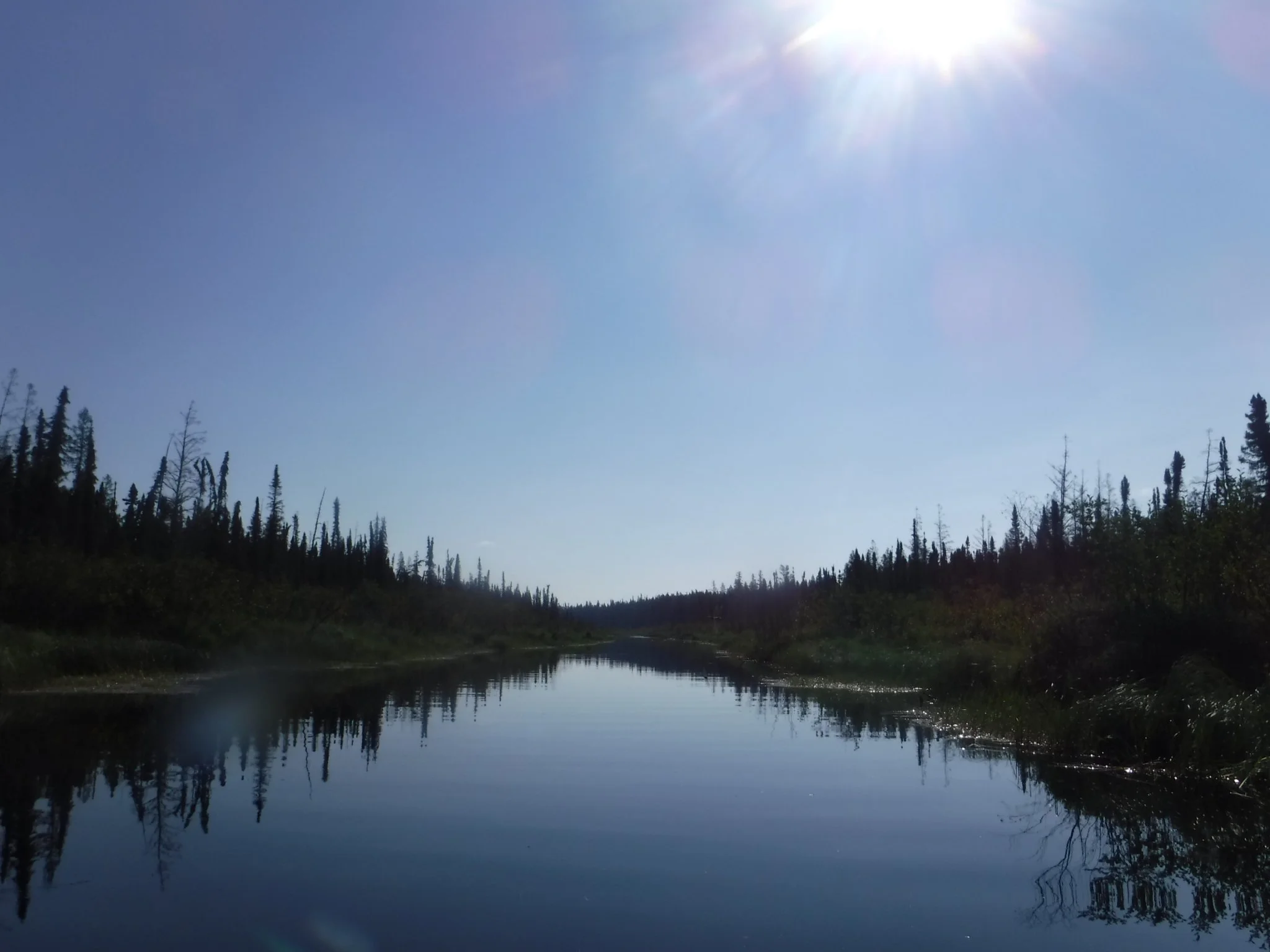
A beautiful river running from HWY 808 in Northwestern Ontario passing through Lansdowne and finishing in Attiwapiskat on the shores of James Bay. This 20 map collection (11×17 inch) is largely un-annotated with the exception of a few known campsites and the declination changes across each map. Travellers will get the chance to see various ecologies and geographies as you cross from the Canadian Shield into the Hudson Bay Lowlands.
A beautiful river running from HWY 808 in Northwestern Ontario passing through Lansdowne and finishing in Attiwapiskat on the shores of James Bay. This 20 map collection (11×17 inch) is largely un-annotated with the exception of a few known campsites and the declination changes across each map. Travellers will get the chance to see various ecologies and geographies as you cross from the Canadian Shield into the Hudson Bay Lowlands.