 Image 1 of 1
-
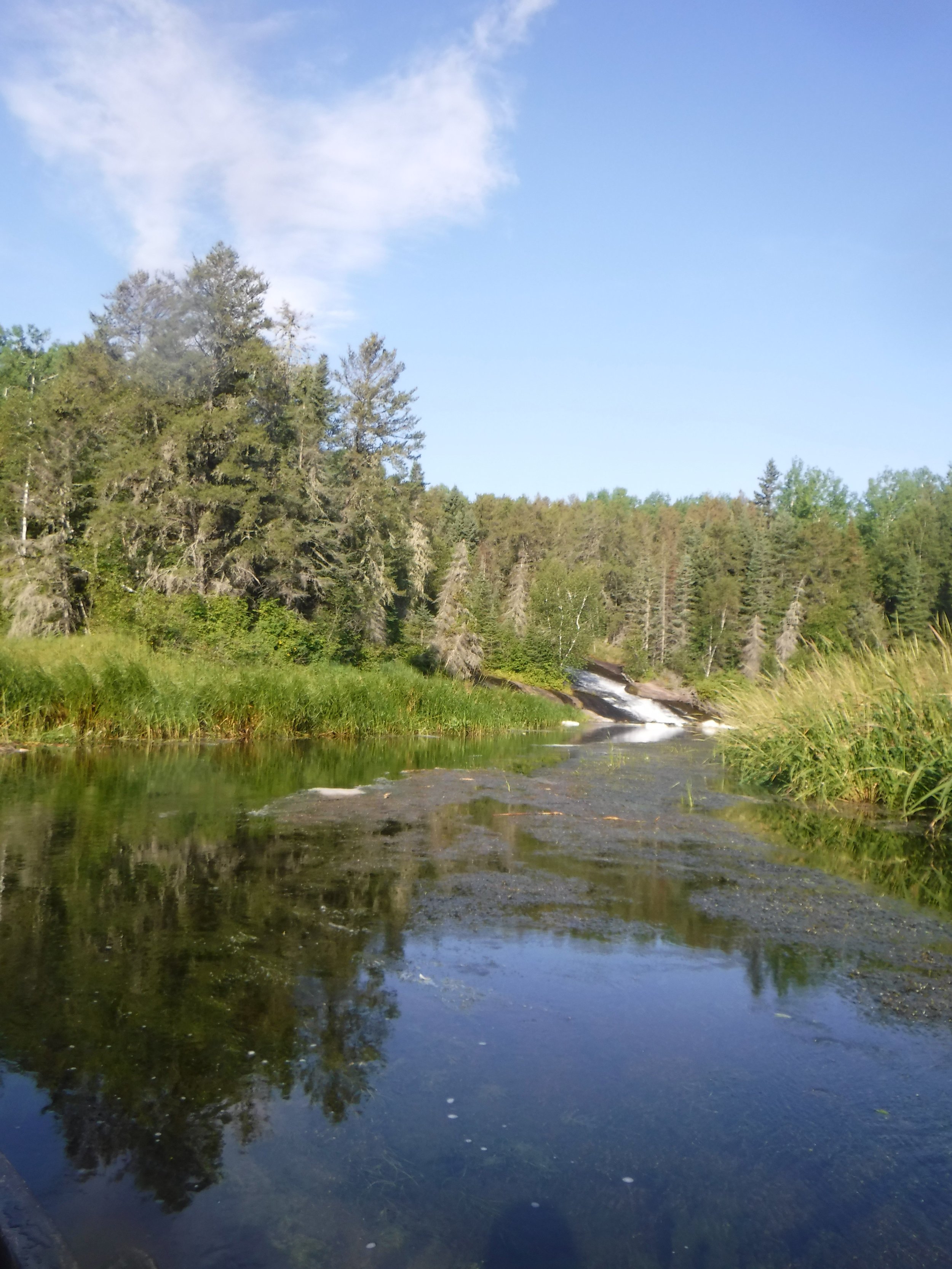
Paddling in Whiteshell Provincial Park offers an immersive experience in Manitoba's wilderness, with over 2,300 square kilometers of pristine lakes, rivers, and rugged forests to explore. Canoeing or kayaking through its crystal-clear waters allows adventurers to discover hidden coves, scenic shorelines, and diverse wildlife. Popular routes include Caddy Lake, which follows a series of man-made tunnels (instead of portages!). Or, enjoy the added challenge of descending the Whiteshell River, perfect for both beginners and seasoned paddlers seeking tranquility or a bit of adventure in this beautiful natural setting. The Whiteshells also feature the Manitouabee Petroforms (also called Bannock Point Petroforms); a striking collection of rock formations which make up this culturally important site to the Indigenous peoples in the area.
-
Beginner; open to all skills levels.
Whiteshell River is a great introduction to whitewater, however paddlers should have some swift-water experience and knowledge to descend safely. -
Park area of 2700 km2; 4-20 day loops
-
Large lakes and wind require careful navigation and weather reading for safe crossings.
Multiple hydroelectric dams along the Winnipeg River. Portages available around the majority of the obstacles.
Campsites and portages are rustic.
Black bears as well as poison ivy and water hemlock can be found throughout the park.
This is an isolated region with limited cell phone reception. All paddlers are encouraged to bring a satellite-enabled communication device.
-
There are several access points along Highway 307 along the western side of the Park. A big parking lot at Big Whiteshell Lake at the end of highway 309.